Enclosure
Enclosure maps date from the late-eighteenth century to the mid-nineteenth century. They may often provide the earliest detailed survey of a parish.
More Information...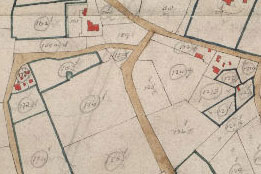
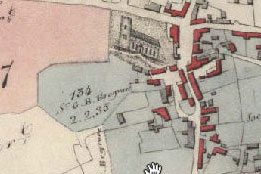
Tithe
Forming one of the earliest detailed surveys of rural Norfolk, tithe maps were drawn up in Norfolk between 1836 and 1850.
More Information...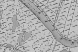
First Edition Six-inch to the mile
The Ordnance Survey first surveyed Norfolk between 1879 and 1886 at the six-inch to the mile scale.
More Information...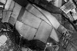
1946 and 1960’s Aerial Photography
The Norfolk E-map Explorer includes around 8,300 aerial photographs of Norfolk taken between 1945-6 and 1960-1965.
More Information...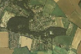
1988 Aerial Photographs
The 1988 aerial survey was commissioned by Norfolk County Council (Department of Planning and Property).
More Information...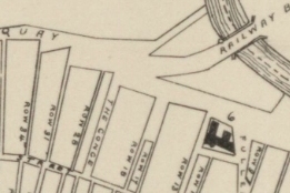
Other Historical Norfolk Maps
Maps have been produced for many purposes over the centuries. Find out more about those created within Norfolk.
More Information...